EXPLORE THE WORLD WITH OLD CHARTER

There's no exploration project too large or too small for our company.
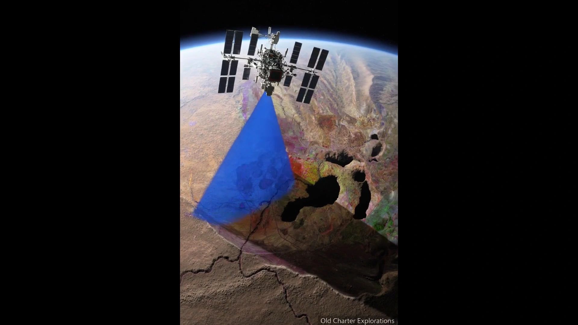
When you need first-look technology to discover what lies beneath the earth's surface or the ocean floor before you drill or excavate, reach out to Old Charter Explorations. We offer advanced exploration services that utilize modern geophysical surveying and remote sensing technologies, including satellite imaging, tailored to your specific needs for finding precious metals and other resources.
Exploration Services
With many years of combined work experience and extensive contacts with top professionals throughout the exploration industry, Old Charter has a distinct advantage in providing reliable and proven exploration services, including geophysical surveying and mapping tailored for the exploration community. Our offerings include drone surveying and mapping, satellite imaging, remote spectral geology, and advanced remote sensing technologies.
Our services encompass:
- Exploration Consulting & Project Management
- Land and Marine Geophysical Surveying & Mapping
- Land and Maritime Archaeological Search & Recovery
- Drone Imaging & Geophysical Mapping
- Satellite RSG Imaging & Mapping
- Asset Consulting & Management
- Precious Metals Search & Recovery
- Detection, Classification & Confirmation of Anomalies, Buried Objects, Contraband, Caves, Tunnels, and Voids
- Underwater Diving & Salvage Operations using drone survey and satellite imaging technologies, leveraging remote sensing for enhanced results.
SkyFront Perimeter 8 w/ Geometrics MagArrow
The future of UAV Magnetometer Surveys, a key component in exploration services, is here! These advancements in geophysical surveying utilize remote sensing technologies and satellite imaging to enhance the detection of precious metals.